Title
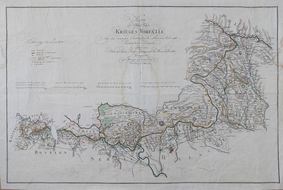
Karte der sämtlichen Krieges Vorfaelle bey den vereinigten Oesterreichisch-Russischen und Türkischen Armeen im Jahr 1788. Nach den besten Karten, Zeichnungen und den Wienerhofberichten herausgegeben von C. Weigel und Schneider
Description
Map of all war incidents between the combined Austro-Russian and Turkish armies in 1788. Based on the best maps, drawings, and the Vienna Court reports, published by C. Weigel and Schneider. Border-colored copperplate map with mile scale and explanation of the symbols. Crimean War, 1788: the map shows the area where Austria and Turkey primarily fought, with troop movements and front lines from Croatia to Moldavia.
Date
1790
Dimension
Paper size: cm 45 x 70
Condition
The white margin is partially trimmed, creased throughout, a few gaps filled, and waterstained in two places. Ownership note on the reverse.
Mapmaker:
Christoph Weigel (c. 1654 - 1725) Adam Gottlieb Schneider (1745 - 1815)