Title
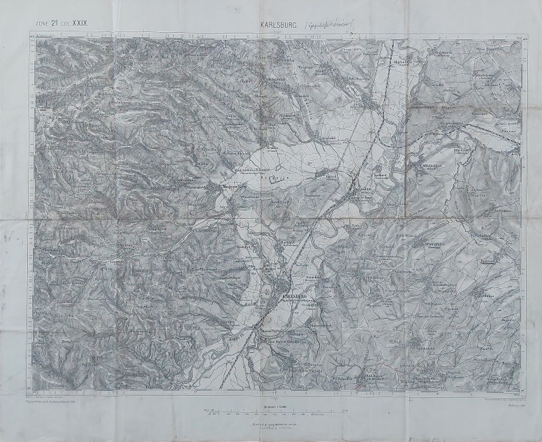
Karlsburg ZONE 21 COL. XXIX
Description
Map of Alba Iulia (Karlsburg, Gyulafehérvár) and its surroundings, part of “Specialkarte der K. u. K. Österreichisch-Ungarischen Monarchie” printed by Militärgeographisches Institut in Vienna between 1873 and 1938
Date
1890 ( undated )
Dimension
Paper size approx.: cm 60 x 48
Mapmaker:
Militärgeographisches Institut Vienna